dancoecarto.com/bonneville-landslidebridge-of-the-gods
Preview meta tags from the dancoecarto.com website.
Linked Hostnames
4- 5 links todancoecarto.com
- 2 links towww.flickr.com
- 1 link towww.dancoephoto.com
- 1 link towww.instagram.com
Thumbnail
Search Engine Appearance
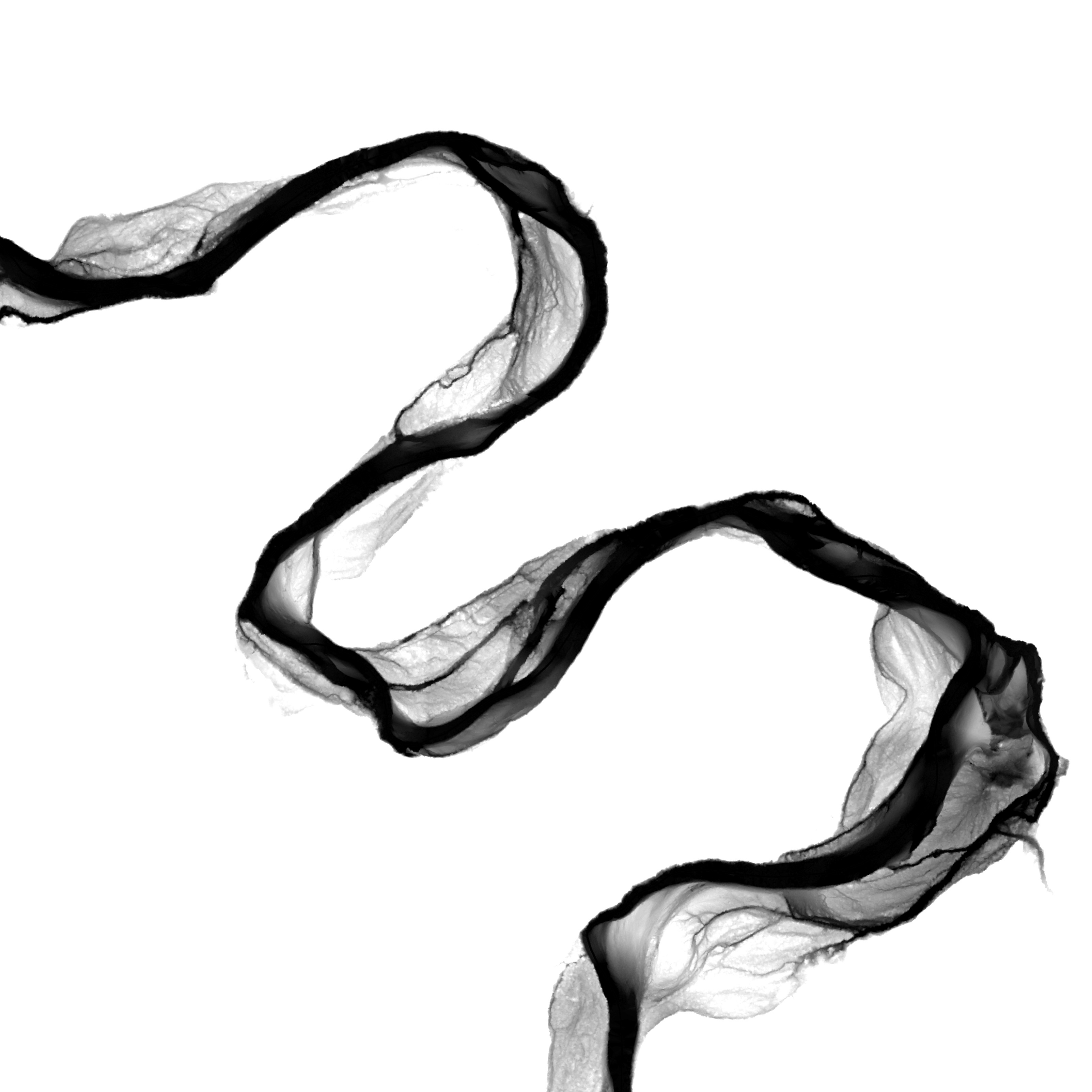
Dan Coe Carto - Bonneville Landslide–Bridge of the Gods
This map depicts the Bonneville landslide in the Columbia River Gorge—hundreds of years ago, an entire hillside along the Columbia River collapsed in a massive landslide covering an area of about six square miles. The Bonneville landslide was so huge that it created a natural dam in the Columbia River, forming a temporary lake stretching all the way to Wallula Gap, 150 miles upriver. The deposit is known as the “Bridge of the Gods”, because it temporarily connected the land on both sides of the Columbia River. Made for the Washington Geological Survey.
Bing
Dan Coe Carto - Bonneville Landslide–Bridge of the Gods
This map depicts the Bonneville landslide in the Columbia River Gorge—hundreds of years ago, an entire hillside along the Columbia River collapsed in a massive landslide covering an area of about six square miles. The Bonneville landslide was so huge that it created a natural dam in the Columbia River, forming a temporary lake stretching all the way to Wallula Gap, 150 miles upriver. The deposit is known as the “Bridge of the Gods”, because it temporarily connected the land on both sides of the Columbia River. Made for the Washington Geological Survey.
DuckDuckGo
Dan Coe Carto - Bonneville Landslide–Bridge of the Gods
This map depicts the Bonneville landslide in the Columbia River Gorge—hundreds of years ago, an entire hillside along the Columbia River collapsed in a massive landslide covering an area of about six square miles. The Bonneville landslide was so huge that it created a natural dam in the Columbia River, forming a temporary lake stretching all the way to Wallula Gap, 150 miles upriver. The deposit is known as the “Bridge of the Gods”, because it temporarily connected the land on both sides of the Columbia River. Made for the Washington Geological Survey.
General Meta Tags
5- titleDan Coe Carto - Bonneville Landslide–Bridge of the Gods
- charsetUTF-8
- viewportwidth=device-width, initial-scale=1
- keywordsgeology,bonneville landslide,columbia gorge,columbia river,landslides,natural hazards,map,cartography,land bridge,lidar,daniel coe
- descriptionThis map depicts the Bonneville landslide in the Columbia River Gorge—hundreds of years ago, an entire hillside along the Columbia River collapsed in a massive landslide covering an area of about six square miles. The Bonneville landslide was so huge that it created a natural dam in the Columbia River, forming a temporary lake stretching all the way to Wallula Gap, 150 miles upriver. The deposit is known as the “Bridge of the Gods”, because it temporarily connected the land on both sides of the Columbia River. Made for the Washington Geological Survey.
Open Graph Meta Tags
3- og:titleDan Coe Carto - Bonneville Landslide–Bridge of the Gods
- og:descriptionThis map depicts the Bonneville landslide in the Columbia River Gorge—hundreds of years ago, an entire hillside along the Columbia River collapsed in a massive landslide covering an area of about six square miles. The Bonneville landslide was so huge that it created a natural dam in the Columbia River, forming a temporary lake stretching all the way to Wallula Gap, 150 miles upriver. The deposit is known as the “Bridge of the Gods”, because it temporarily connected the land on both sides of the Columbia River. Made for the Washington Geological Survey.
- og:imagehttps://cdn.myportfolio.com/44b8374c-5758-4aa0-b67e-1a860c4711e6/cfe8e238-d74c-40e1-8b45-00fb9b853504_rwc_0x0x3206x3206x3206.jpg?h=46756aa7da59861a6c4d2e87b3953759
Twitter Meta Tags
2- twitter:cardsummary_large_image
- twitter:site@AdobePortfolio
Link Tags
5- apple-touch-iconhttps://cdn.myportfolio.com/44b8374c-5758-4aa0-b67e-1a860c4711e6/45033430-a1af-4e3d-8996-41ef31240362_carw_1x1x180.jpg?h=284dabf3b301621e739f8b2a190138fc
- canonicalhttps://dancoecarto.com/bonneville-landslidebridge-of-the-gods
- iconhttps://cdn.myportfolio.com/44b8374c-5758-4aa0-b67e-1a860c4711e6/1d2b41b9-fe67-4a48-90d7-cee422fc2473_carw_1x1x32.jpg?h=284e49b2ccca21132e4cd6be35ff662c
- stylesheet/dist/css/main.css
- stylesheethttps://cdn.myportfolio.com/44b8374c-5758-4aa0-b67e-1a860c4711e6/77f37f96ee39ff9c22bd5986a9c4dd631757391218.css?h=b6ddf2c2d0be2239b5718e59344fb66a
Links
9- https://dancoecarto.com/contact
- https://dancoecarto.com/contact-1
- https://dancoecarto.com/presentations
- https://dancoecarto.com/tutorials
- https://dancoecarto.com/work