
hackernoon.com/10-best-datasets-for-geospatial-analytics-open-and-public-access
Preview meta tags from the hackernoon.com website.
Linked Hostnames
24- 35 links tohackernoon.com
- 3 links tolandscan.ornl.gov
- 2 links toec.europa.eu
- 2 links togadm.org
- 2 links toneo.gsfc.nasa.gov
- 2 links toopendatasets.tech
- 2 links tounni.io
- 2 links towww.naturalearthdata.com
Thumbnail
Search Engine Appearance
https://hackernoon.com/10-best-datasets-for-geospatial-analytics-open-and-public-access
10 Best Datasets for Geospatial Analytics (Open and Public Access) | HackerNoon
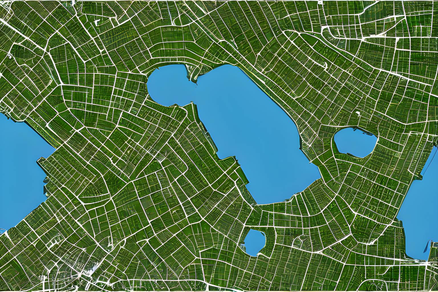
Scientists use geospatial analytics to build visualizations such as maps, graphs and cartograms. These are the Best Public Datasets for Geospatial Analytics.
Bing
10 Best Datasets for Geospatial Analytics (Open and Public Access) | HackerNoon
https://hackernoon.com/10-best-datasets-for-geospatial-analytics-open-and-public-access
Scientists use geospatial analytics to build visualizations such as maps, graphs and cartograms. These are the Best Public Datasets for Geospatial Analytics.
DuckDuckGo
https://hackernoon.com/10-best-datasets-for-geospatial-analytics-open-and-public-access
10 Best Datasets for Geospatial Analytics (Open and Public Access) | HackerNoon
Scientists use geospatial analytics to build visualizations such as maps, graphs and cartograms. These are the Best Public Datasets for Geospatial Analytics.
General Meta Tags
10- title10 Best Datasets for Geospatial Analytics (Open and Public Access) | HackerNoon
- charsetutf-8
- viewportwidth=device-width
- descriptionScientists use geospatial analytics to build visualizations such as maps, graphs and cartograms. These are the Best Public Datasets for Geospatial Analytics.
- twitter:title10 Best Datasets for Geospatial Analytics (Open and Public Access) | HackerNoon
Open Graph Meta Tags
3- og:title10 Best Datasets for Geospatial Analytics (Open and Public Access) | HackerNoon
- og:descriptionScientists use geospatial analytics to build visualizations such as maps, graphs and cartograms. These are the Best Public Datasets for Geospatial Analytics.
- imagehttps://hackernoon.imgix.net/images/geospatial-datasets-cldv6a3ar000001s6f3ogaj0h.png
Twitter Meta Tags
2- twitter:cardsummary_large_image
- twitter:site@hackernoon
Link Tags
11- canonicalhttps://hackernoon.com/10-best-datasets-for-geospatial-analytics-open-and-public-access
- preconnecthttps://fonts.googleapis.com
- preconnecthttps://fonts.gstatic.com
- preconnecthttps://fonts.gstatic.com
- preload
Website Locales
12 bnhttps://hackernoon.com/bn/ভূ-স্থানিক-বিশ্লেষণের-জন্য-10টি-সেরা-ডেটাসেট-খোলা-এবং-সর্বজনীন-অ্যাক্সেস
 dehttps://hackernoon.com/de/Die-10-besten-Datensätze-für-Geodatenanalysen-sind-offen-und-öffentlich-zugänglich
 enhttps://hackernoon.com/10-best-datasets-for-geospatial-analytics-open-and-public-access
 eshttps://hackernoon.com/es/los-10-mejores-conjuntos-de-datos-para-el-analisis-geoespacial-de-acceso-abierto-y-publico
 frhttps://hackernoon.com/fr/10-meilleurs-ensembles-de-données-pour-l'analyse-géospatiale-en-accès-ouvert-et-public
Links
67- https://coffee-web.ru/blog/10-best-hugging-face-datasets-for-building-nlp-models
- https://data.giss.nasa.gov/landuse/?ref=hackernoon.com
- https://ec.europa.eu/eurostat/data/database?ref=hackernoon.com
- https://ec.europa.eu/eurostat?ref=hackernoon.com
- https://gadm.org/?ref=hackernoon.com